E – 1618 Survey Methods and Techniques
$75.00
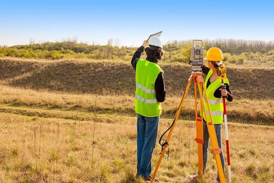
This course provides an overview of the past and present instruments and methods used to perform topographic surveys of sites, facilities, or infrastructure. Prior to the advent of total stations, GPS, LIDAR, and data collector systems, transit and plane table topographic surveying methods and instruments were once standard. They are rarely used today, other than perhaps for small surveys when a total station or RTK system is not available. However, the basic field considerations regarding detail and accuracy have not changed, and field observing methods with total stations or RTK are not significantly different from the older survey techniques briefly described in the following sections.
Course Outline
1. GENERAL
2. TOTAL STATIONS
3. REAL TIME KINEMATIC (RTK) GPS
4. TERRESTRIAL LIDAR (LASER) SCANNING
5. TOPOGRAPHIC DATA COLLECTION PROCEDURES
6. AUTOMATED FIELD DATA COLLECTION
7. METHODS OF DELINEATING AND DENSIFYING TOPOGRAPHIC FEATURES
This course will give professional engineers and land surveyors a better understanding of land survey methods and techniques.
 E - 1118 Air Pollution Control - Carbon Adsorption for VOCs
1 × $75.00
  E - 1123 Concrete Methods and principles - Full 8 Hours Course
1 × $200.00
  E - 1525 Biodiesels- Handling and Use Guide
1 × $100.00
 E - 1118 Air Pollution Control - Carbon Adsorption for VOCs
 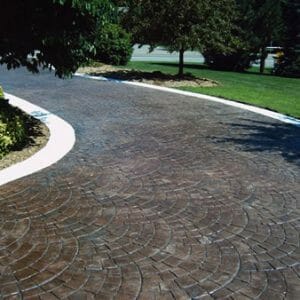 E - 1123 Concrete Methods and principles - Full 8 Hours Course
  E - 1525 Biodiesels- Handling and Use Guide